

Oversee your multiple retail districts
The Wholesale Explorer is a regional management tool designed to support wholesale water agencies overseeing multiple retail districts
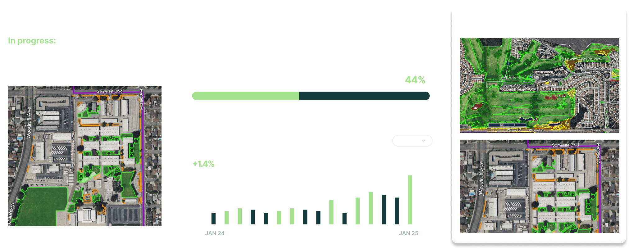
Oversee your retail discricts
Visual viewer
View aggregated irrigated landscape data
Monitor compliance dashboards
Use GIS review tools
oversee multiple retail districts
The Wholesale Explorer
The Explorer helps regional agencies analyze irrigated landscape and water use objectives, track regulatory compliance, and generate reports across multiple districts—enhancing regional coordination and supporting sustainable water management strategies.
View aggregated irrigated landscape data including Non-Functional Turf
Perform multi-layer data searches and export lists
Access high-resolution imagery datasets and parcel data
Use GIS review tools: drop pins, annotate, measure, and create custom mark-up layers
Monitor compliance dashboards: monitor water use, analyze trends, and track regional progress